blah blah blah
Beech Hill (Keene)
Length: 1.0 mile out-and-backDifficulty (click for info): Beginner
Elevation Gain: 110 feet (+30 feet on return)
Rating (click for info): 5/10
Elevation: 1055'
Prominence: 205'
Driving Directions:
Trailhead is on Chapman Road in Keene, NH. From Rt. 101, 0.7 miles east of the rotary interchange with Rt. 10, turn north on Main Street into the center of Keene. Drive 0.5 miles to the roundabout and continue straight, then take the first right after the circle onto Water Street. Drive 0.9 miles, then continue onto Roxbury Road, which merges in from the left. In 0.3 miles, turn right to stay on Roxbury Road. Go another 0.3 miles and turn right onto Champman Road. Continue 0.4 miles and look for a narrow paved road with several signs and a chain-link fence leading uphill on the right. There is room to park on the side of the road opposite the entance. Alternately, from Rt. 9, 1.6 miles west of the Granite Gorge Ski Area and 1.0 mile east of the northern/eastern end of the concurrency with Rt. 10, turn south on Sullivan Road. Drive 1.4 miles (it becomes Concord Road after 0.4 miles) and turn left onto Jordan Road. Continue for 1.5 miles to the end and take a left onto Roxbury Road. Drive 0.2 miles and turn right onto Chapman Road and follow directions described earlier. Click here for a Google map.
About the Hike:
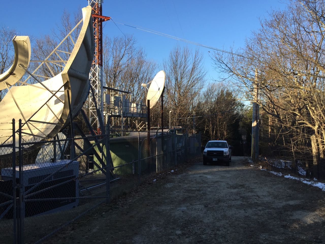
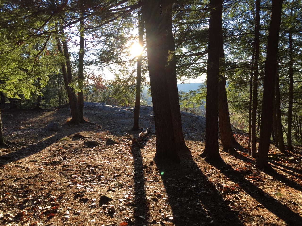
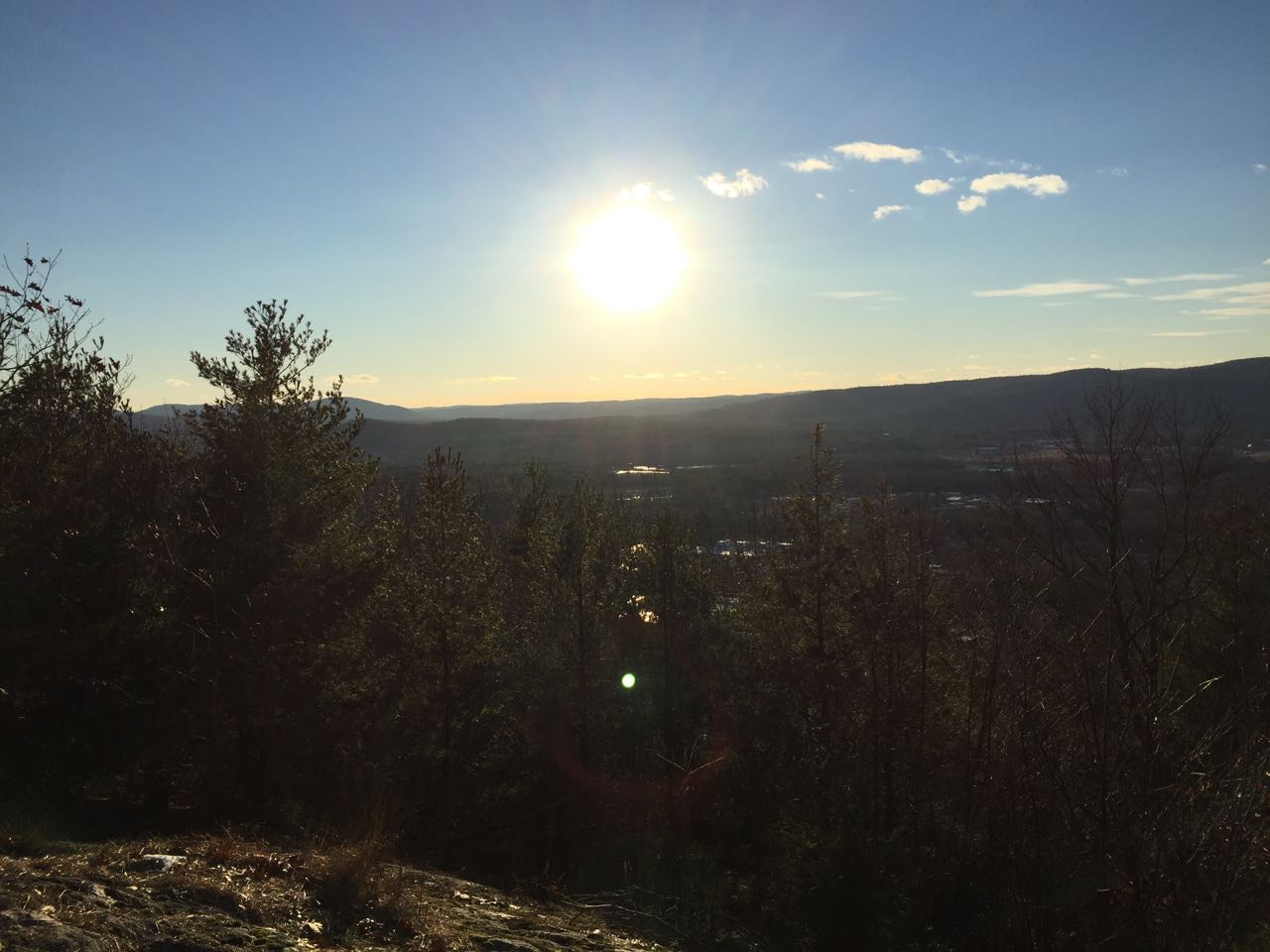
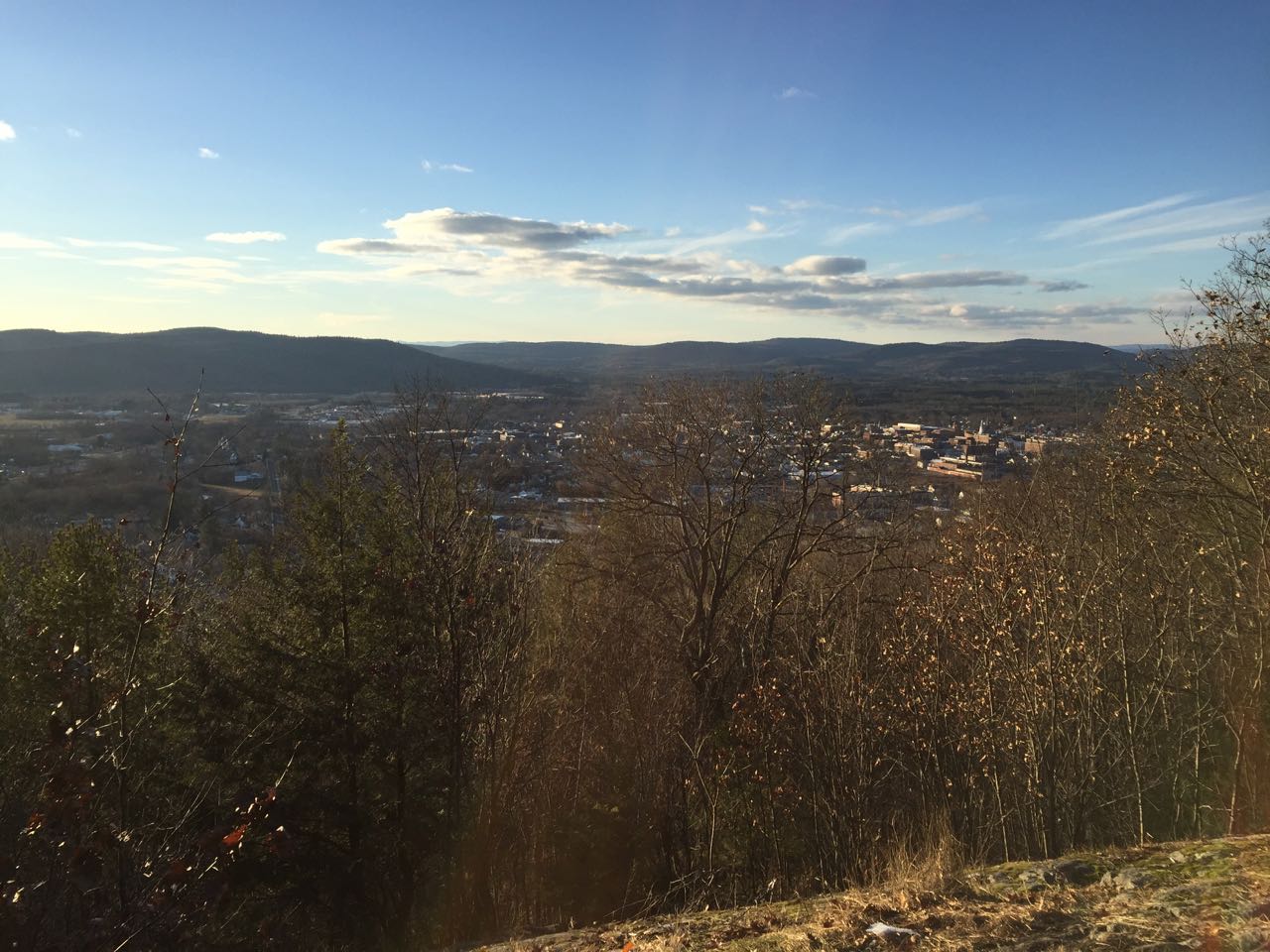
Immediately east of the flat plain that holds the city of Keene, a steep slope rises to the top of Beech Hill. Residential areas surround the area around the top, which is relatively flat compared to the sharp wall which blocks off any eastern expansion of the city. The summit houses some communications equipment, and has a paved road, not open to public vehicles, leading to the top. Just below the summit is a ledge called Eagle Rock which provides a nice birds-eye view of the city over the trees. The area is kept up by the Keene Parks and Recreation Department for everyone to enjoy.
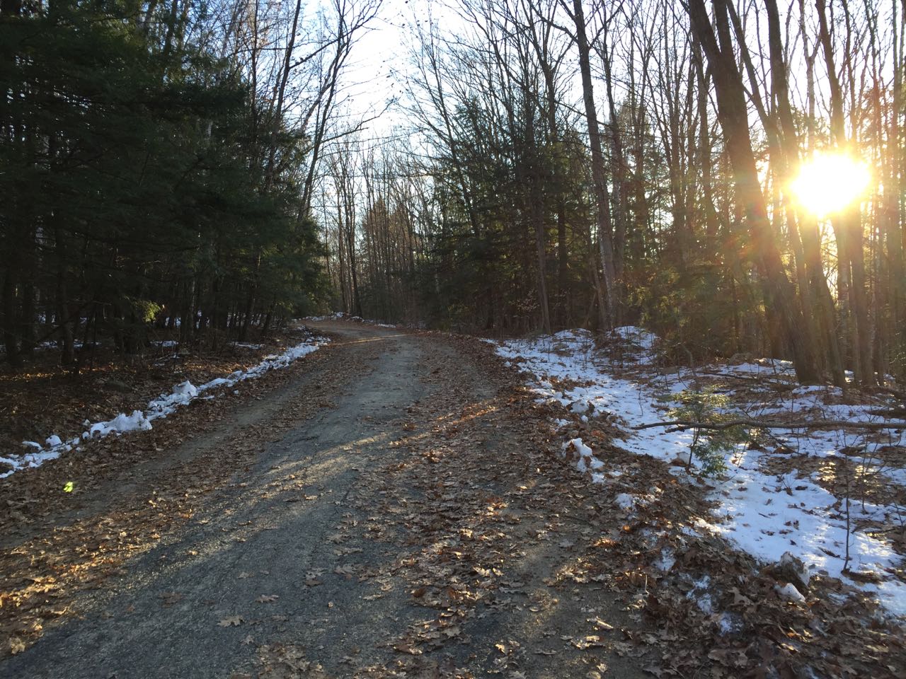
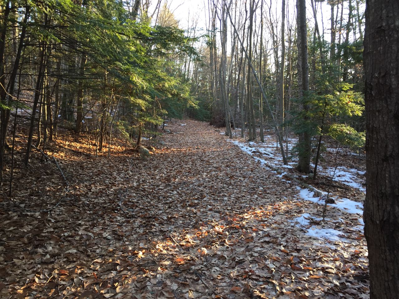
From your pull-off on Chapman Road, go over to the acccess road with several regulatory signs and start walking up the gradual, paved path. In 0.15 miles, you will pass a water tank on your right. In another 0.1 miles, an older woods road splits off to the right at a left bend. The mechanized true summit is a few steps to the left. Bear right onto the woods road and walk flat across the hillside for just over 0.2 miles until the road ends at a rocky knoll with a small stand of trees. This is Sunset Rock. From here, you can look down on the city; the view is best when the leaves are down from the trees. Across the city, you look out at the low hills on the other side, including West Hill, Grays Hill, and Hyland Hill.
Printable directions page